
Jewelry City, river city
Hydroseeding in Attleboro, MA
A growing Massachusetts city on the Ten Mile River, ringed by conservation land.
- No-charge site visit, then an itemized quote in writing
- Seed mix picked for the sun, shade and slope on your lot
- A printed aftercare sheet: when to water and when to mow for the first time
Attleboro Lawns from Downtown to Oak Hill
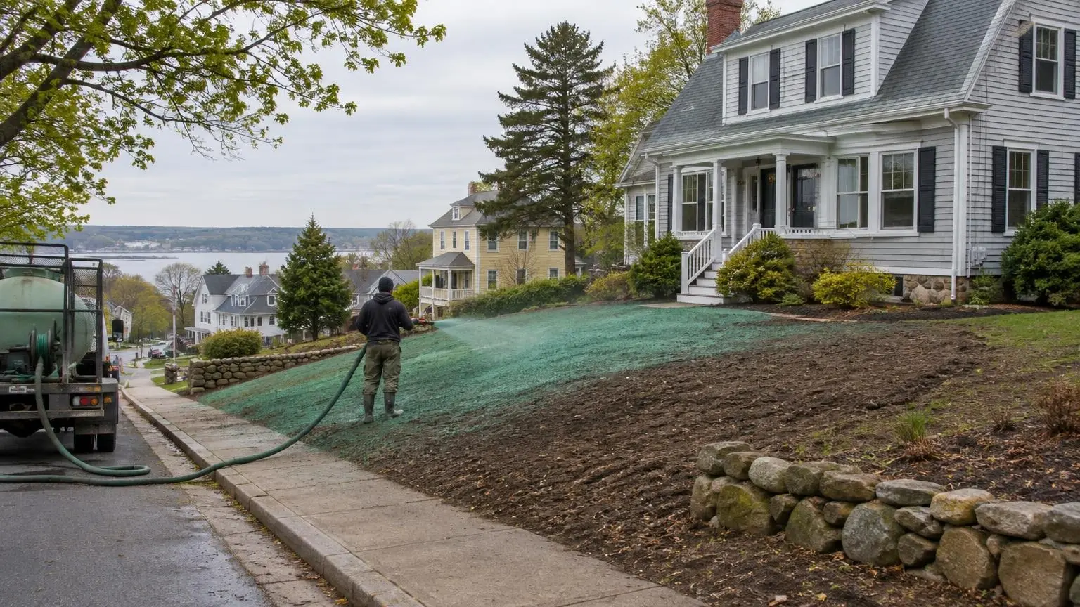
Hydroseeding in Attleboro covers a city at its biggest ever. The 2020 census counted 46,461 residents, the highest in its history, and new homes and conversions keep coming. Attleboro sits just over the Rhode Island line, and its yards run from tight downtown lots to wooded edges near conservation land.
Ten Mile and Bungay Rivers
The Ten Mile River, fed by the Bungay River, runs through the city on its way to the Seekonk River. The Ten Mile was badly polluted in the mid-1900s and has since been cleaned up. Lots near either river need silt fence during work, and in Massachusetts, projects near rivers and wetlands often go before the local conservation commission first.
From jewelry plants to green space
Attleboro's jewelry industry, led by the L.G. Balfour Company, shaped the downtown. Balfour's former plant site became the L.G. Balfour Riverwalk, a park next to downtown, and state and federal money has been spent on turning old industrial parcels into mixed use. Redevelopment sites like these need clean topsoil and fast cover.
Conservation edges
The city has over 20 conservation areas totaling more than 600 acres, plus the 75-acre Oak Knoll Wildlife Sanctuary. Homes that back up to protected land should keep runoff and seed off it, so we seed carefully along those edges and use barriers where needed.
Oak Hill
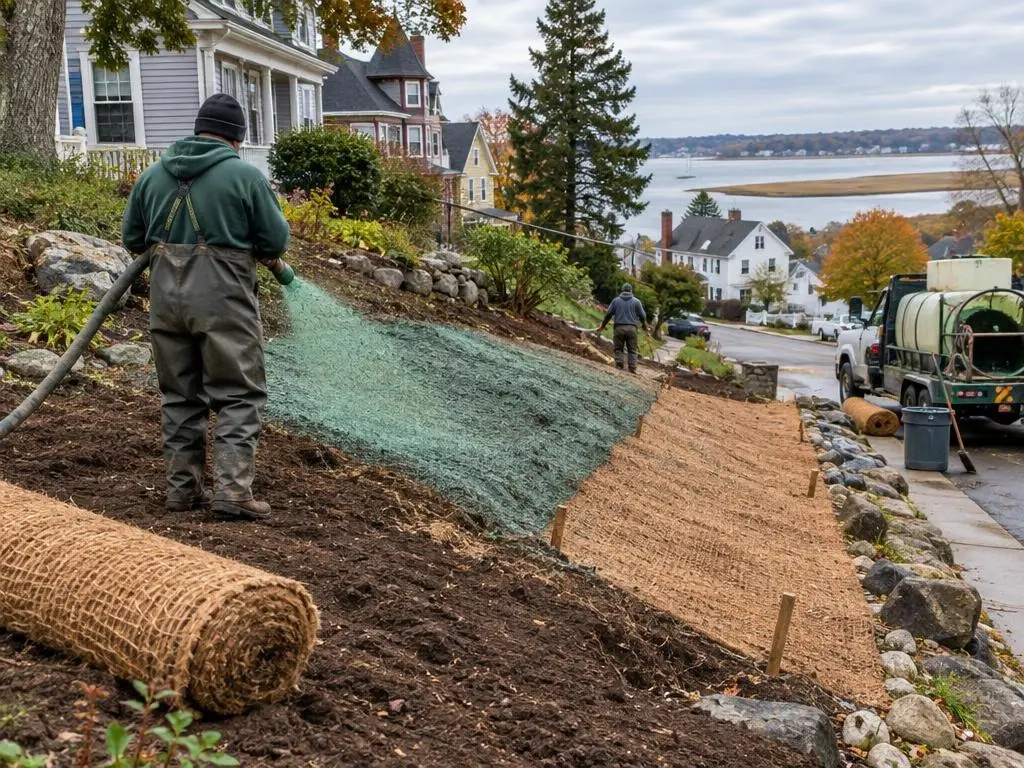
Oak Hill, the highest point at 249 feet, is in the south part of the city. Lots around it have more slope than downtown, and we use heavier mulch on the banks.
Attleboro work
- New lawns for new homes and conversions
- Silt fence near the Ten Mile and Bungay
- Seeding on redevelopment sites
- Grading, topsoil and slope cover
Get a free estimate or call (401) 271-4843.
Attleboro Facts
- Record population. Attleboro counted 46,461 residents in 2020, its highest decennial count ever.
- Rivers. The Ten Mile River, fed by the Bungay River, runs through the city toward the Seekonk River.
- Conservation land. Over 20 conservation areas total more than 600 acres, plus the 75-acre Oak Knoll Wildlife Sanctuary.
- High point. Oak Hill, in the south of the city, is the highest point at 249 feet.
Attleboro Questions
Do I need conservation commission approval to seed near the Bungay?
Work near rivers and wetlands in Massachusetts often needs it. Check with the city first; we follow the approved conditions.
My yard backs onto conservation land. Will your spray drift onto it?
We control the spray along the edge and use a barrier where runoff could reach it.
Can you seed a redeveloped commercial lot downtown?
Yes, on clean topsoil, with sediment controls during the work.
Is a sloped lot near Oak Hill harder to seed?
It seeds well. The steepest sections just need heavier mulch or a blanket.
Free Estimates in Attleboro, MA
Free estimates across Attleboro and South Attleboro.
Hydroseeding Near Attleboro
- Hydroseeding in Providence, RI
- Hydroseeding in Cranston, RI
- Hydroseeding in Warwick, RI
- Hydroseeding in East Providence, RI
- Hydroseeding in Pawtucket, RI
- Hydroseeding in Johnston, RI
- Hydroseeding in North Providence, RI
- Hydroseeding in Smithfield, RI
- Hydroseeding in Lincoln, RI
- Hydroseeding in Cumberland, RI
- Hydroseeding in Barrington, RI
- Hydroseeding in Bristol, RI
- Hydroseeding in Warren, RI
- Hydroseeding in East Greenwich, RI
- Hydroseeding in North Kingstown, RI
- Hydroseeding in Coventry, RI
- Hydroseeding in West Warwick, RI
- Hydroseeding in Scituate, RI
- Hydroseeding in Seekonk, MA
- Hydroseeding in Rehoboth, MA
- Hydroseeding in North Attleborough, MA
- Hydroseeding in Swansea, MA